Introduction: Determining Local Magnetic Declination by a Magnetic Compass
by tonytran2015 (Melbourne, Australia).
A magnetic compass can be used to determine local magnetic declination. This declination varies with location and time.
The declination is compiled from local laboratories data and made into world charts for navigation.
Step 1: Requirements
We require
1. A place where both Sunrise and Sunset can be observed,
2:. Parallel magnetic field lines for the whole place, that is the direction of the magnetic needle does not change when the compass is moved in such a place,
3. A sighting compass as in the picture.
Step 2: Determining Local Mangetic Declination.
Keep the sighting compass level and read the direction of Sunrise.
Keep the sighting compass level and read the direction of Sunset.
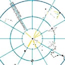
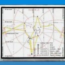
The bisector line of the two readings is the true North. The reading for the bisector is the mean value of Sunrise and Sunset values.
The reading of the bisector line is the absolute value of magnetic declination. Magnetic declination is positive when magnetic North is East of true North and negative when West.


